A rainy and breezy day is likely for the area on Thursday. Let’s start below with the forecast precipitation from NWS Seattle. This forecast is for 12 AM Thursday to 12 AM Friday.

Expect 0.25 to 0.5 inches of rain during this period. Most rain will fall Thursday morning, with rain becoming more showery-and winds increasing-by afternoon.
There is also a 10-20% chance of thunderstorms from 11 AM to 7 PM Thursday. Lightning and thunder aren’t very likely, but remember, “when thunder roars, go indoors!”
Now for the wind...Below is the wind forecast for Puyallup.
Expect southwest winds gusting 25-35 mph starting Thursday morning. We still have a couple forecasts showing 40-50 mph wind gusts. Remember that while it is unlikely, be prepared for those stronger winds and potential tree damage. Winds will subside by Friday morning.
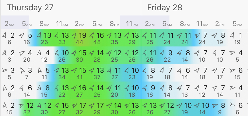
Real quick...here’s the forecast for Puyallup from Weather Underground.

Expect rain starting as early as late Wednesday and showers lasting as late as Friday morning. Then, the warmup begins, with a warm Memorial Day weekend in store. Warm temperatures continue through the first few days of June.
The rainiest day of spring will feature a cold front that will move through and set up a warm and dry pattern, with highs of 80+ degrees likely. Interesting how our weather works!

No comments:
Post a Comment