Like I mentioned earlier, today was chilly, and as the showers & clouds clear out tonight, lows will dip down to the upper 20s-low 30s. There is a slight chance that pockets of left over precipitation will fall as light snow on hilltops, but this is unlikely.
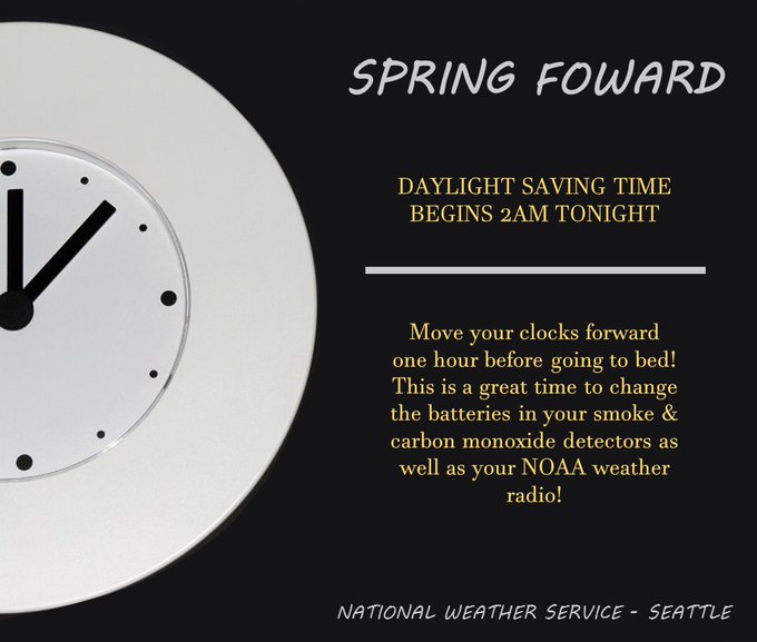
As we “Spring Forward” into Sunday, the weather will get nicer! Sunday and Monday will be mostly sunny and crisp with highs 48-52. No clouds will allow for temperatures to get colder these few nights, with lows 26-32 and possible frost/ice. Those overnight temperatures are unseasonably cold for March, but we will moderate slowly after Monday night.
Clouds increase on Tuesday, and temperatures become more seasonable, with highs in the mid 50s and lows in the mid-upper 30s. Chances of rain increase with a system on Wednesday, and then again as a stronger, more organized system makes its way in on Friday.
Also, be sure to get some more sleep tonight...as we transition in to Daylight Savings Time


No comments:
Post a Comment