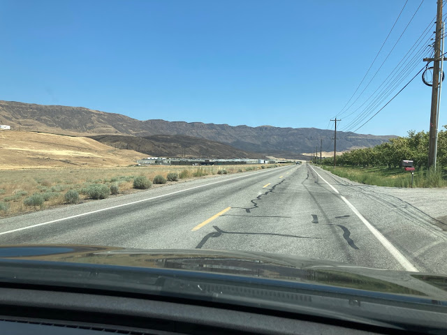
This special blog post features my photos from the burn scars of the Red Apple and Batterman Road Fires that burned around 12,000 and 14,000 acres, respectively. I visited the Wenatchee area this on July 29th to document the fires and share photos of their impact with the readers of my blog.
Red Apple Fire:
In mid-July, a fire started off Red Apple Road northeast of Wenatchee, near the Sunnyslope and Monitor areas. This fire, soon named the Red Apple Fire, began to spread rapidly toward the Columbia River and neighborhoods in the hills north of Wenatchee. It prompted evacuations for hundreds of residents, and as we’ll see in this blog, burned very close to homes. The fire burned just over 12,000 acres before being contained about 2 weeks later.
 |
| Homes in the Sunnyslope, WA, area surrounded by burned areas but saved thanks to extraordinary efforts from firefighters. |
In the InciWeb map below, you can see the area burned by the Red Apple Fire and the general location of the fire. The black circle is approximately where the fire started, and the blue rectangle is where all my photos were taken.
We begin in the Monitor area, just off US-2 and on the southwestern corner of the burned area.
This photo, from a field beside the Hot Rod Cafe in Monitor, shows just how close the fire got to the bottom of the hill (and structures).
About a mile east of the Hot Rod, the fire made a close approach to houses, making for quite the contrast between houses and a scorched hillside.
As we are about to see, this was far from the closest that this fire came to houses.
The remaining photos of the Red Apple Fire’s burn scar are in the neighborhoods of Sunnyslope, an area of relatively new houses built into the wildland and on a hillside, making them very prone to fires.
In this photo, with the road for perspective, the fire burned right to the edge of the road, only stopping in the gravel on the roadside. Notice how some trees are half-scorched and the fire came within feet of houses.
In this part of the neighborhood, the trees weren’t so lucky, and are now standing dead. In this case, the only thing that stopped the fire’s advance was the road.
This next photo is very striking to me, because it shows what a fire’s heat can do. The plastic fence is melted, even though the fire barely burned past it.
All the hills into the distance from where this photo was taken are burned as well, a familiar sight in this neighborhood.
This photo demonstrates the incredible effort of our firefighters. They were able to save this house, although all the land on all sides of the house is burned. I can only imagine how grateful those homeowners are.
We have now made it to the eastern side of the Sunnyslope area. This photo shows a few of the 12,000+ acres burned by the Red Apple Fire.
This fire had the potential to cause large amounts of damage due to the neighborhoods it burned very near to, but due to the extraordinary efforts of firefighters, many houses were saved.
Batterman Road Fire:
On my way out of Wenatchee, I quickly stopped to see the burn scar of the Batterman Road Fire, a grass fire that burned 14,000+ acres just outside of East Wenatchee in early July. (Map below, photos taken in blue outlined area).
I was only able to capture a small area of this fire, because most of the burned area is north and east of where I was, and in remote areas with rough terrain and few roads.
This photo, taken heading east near the Wenatchee Airport (Pangborn Memorial) in East Wenatchee, shows some of the burned area from the Batterman Road Fire, including its close approach to a power substation and a couple warehouses at the bottom of the hill.
This photo shows just how steep some of the terrain was that this fire moved up. It left a stark contrast between the dry grass and dark burned areas.
These areas around Wenatchee that have been burned will be prone to landslides and debris flows (as all burn scars are) when heavy enough rain comes.
It was interesting to get up close and document areas burned by wildfires, and it was a reminder of the damage wildfires can do if they’re given the chance. Be sure that you’re being smart when using or around fire, and remember…
 |
| Image found here. |


No comments:
Post a Comment