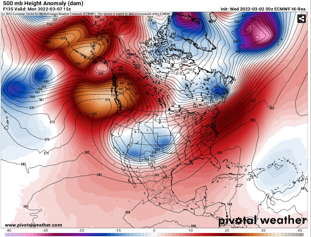
FastCast—Wednesday, Mar. 2 to Monday, Mar. 7:
After a thorough drenching thanks to an atmospheric river, Western Washington is slowly beginning to dry out. Most areas south of Seattle received 3-5 inches of rain from Sunday to Tuesday. Amounts of 0.5 to 2 inches were observed north of Seattle, 6-8 inches in the foothills, and large amounts of 6-10 inches fell in the Cascades and Olympics. A weak system will move through on Wednesday, with 0.2 to 0.4 inches of rain around the area. A ridge will build, with drier conditions expected from Thursday afternoon through next Monday. Temperatures will cool from the upper 50s to low 60s on Tuesday to the upper 40s to mid 50s for the remainder of the week and into next week. Expect lows in the mid 30s to low 40s. This dry stretch will allow the rivers to recede by Thursday. See below for some footage of Snoqualmie Falls and the Snoqualmie River on Tuesday.
—————————————————————
Continue reading the full blog below!
A major atmospheric river impacted Western Washington from Sunday to Tuesday, bringing 3-5 inches of rain to the lowlands and 6-10 inches to the foothills and mountains.
Significant river flooding occurred, with moderate to major flooding on the Snoqualmie River, where I went on Tuesday afternoon. The photos below show Snoqualmie Falls and a flooded road near Duvall.


More footage of the flooding can be viewed here:
The Falls: https://twitter.com/The_Weatherman2/status/1498830300046004225
River Flooding: https://twitter.com/The_Weatherman2/status/1498876230111674368
As predicted, the rain totals were substantial, with more rain in 3 days than the average amounts for the month of February. Below are rainfall totals in Western Washington from Sunday to Tuesday.

Areas from Seattle southward and in the foothills/mountains received more rain than forecast, with Monday being the 10th wettest day ever at SeaTac Airport (2.97”).
Enjoy the calmer and drier weather!

No comments:
Post a Comment