
Notice that the coldest temperatures were observed in outlying areas, but also take note of warmer temperatures in the areas downstream of Enumclaw. We’ll get back to that later.
Sunday night-Monday morning will be cold as well. A Frost Advisory is in effect from 2-10 AM Monday, and is posted below.

Frost will form with cold temperatures overnight, potentially killing sensitive plants. Be careful on your morning commute, as patchy black ice is possible.
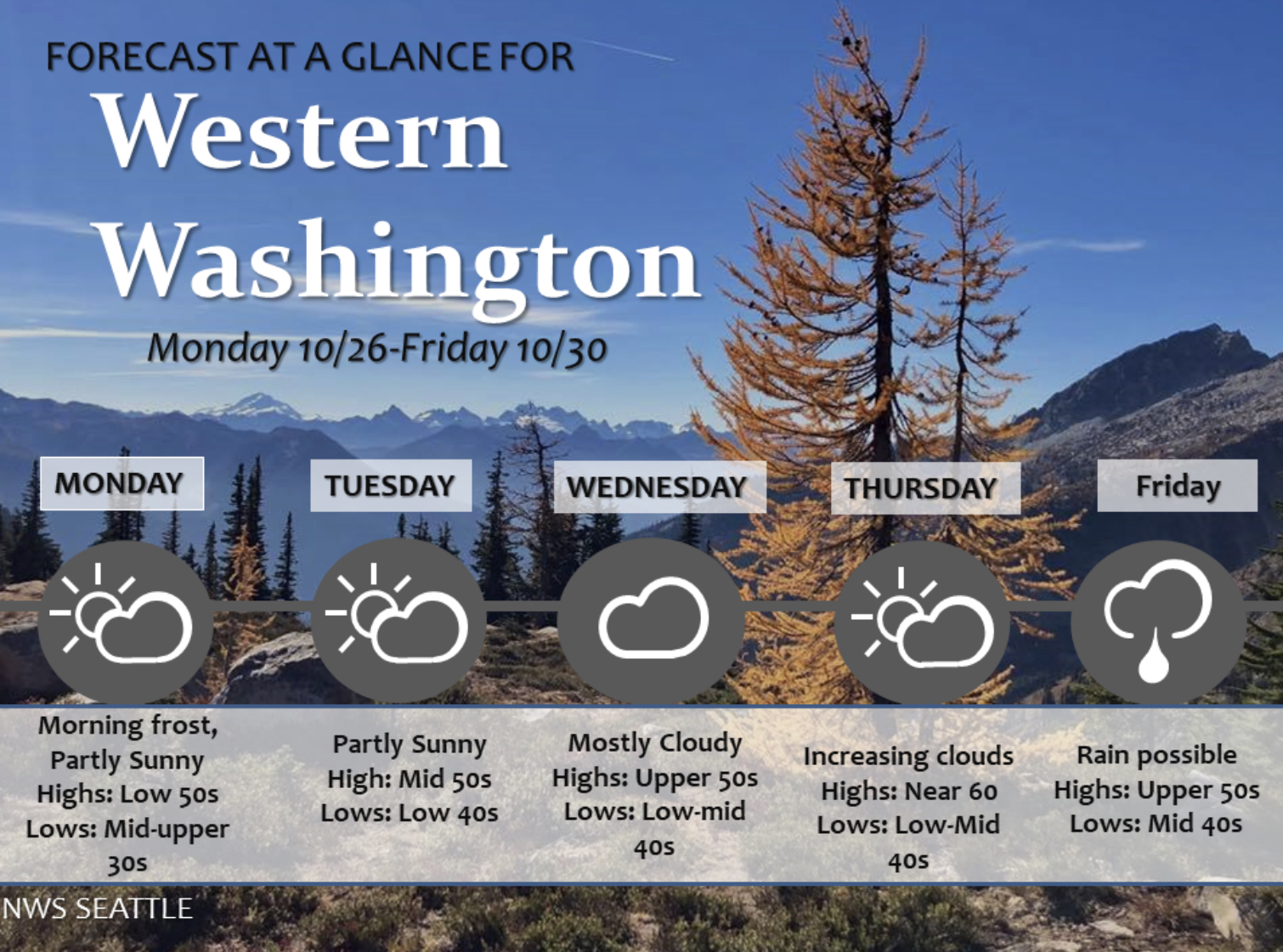
Temperatures will warm up a bit through the week, with highs of 50-62 degrees and lows of 35-49 degrees. Here’s a graphic from NWS Seattle.


Winds gusted 20-30 mph. Compare the circled areas in both graphics...they are nearly the same. You might be wondering why this happened.
A massive high pressure ridge (black outline) has been moving down from Arctic Canada. This ridge accelerated winds through the gaps in the Cascades (blue arrow).

If it felt drier this morning in areas impacted by the winds, it was. Below is the minimum relative humidity on Sunday.

Sunday night will have calmer winds, and areas that were impacted by the winds will likely cool more tonight, with frost likely.
It’s fun to see local “microclimates” in action!

No comments:
Post a Comment