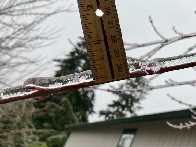
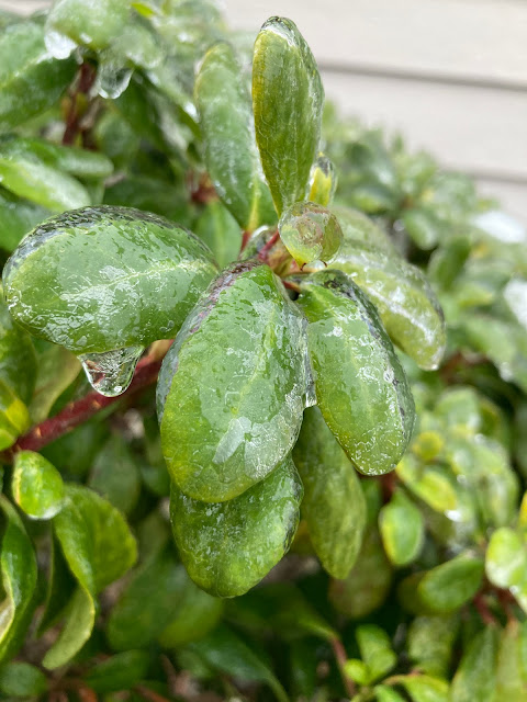
The Seattle area was hit by its first ice storm in 10 years on Friday. This storm produced significant impacts, especially on roads and at SeaTac, Paine Field, and Bellingham Airports. (Cool photos at the bottom of the blog!)
Ice accretion was measured to be 0.1-0.5 inches across the lowlands, including 0.3" at my house in Federal Way, seen below.
This was enough to make roads a sheet of ice and to significantly weigh down trees. Below is a Public Information Statement from NWS Seattle issued at 11 AM Friday. Most locations would go on to get 0.1-0.2 inches of ice.
So...how did forecasts do? As you would probably expect after all this winter weather, the historically reliable European model affirmed its position as the most reliable weather model in the world. See its forecast from before the event below.
This model accurately forecasted ice totals for the Puget Sound area, albeit a bit on the high end around Tacoma. The European model also accurately pinpointed the ongoing ice hotspots of Snoqualmie Pass, Stevens Pass, and the Columbia River Gorge.
As of 6:15 PM Saturday, I-90 and US-2 remain closed, along with WA-14 in the Columbia River Gorge. I-84 has recently reopened, and US-12 remains open over White Pass. Up to 1 inch of ice accretion prompted NWS Seattle's first Ice Storm Warning since 2012 (seen below in dark purple).
The Ice Storm Warning continues through 4 AM Sunday. Freezing rain will end in the passes on Sunday, with a transition to rain as snow levels rise to 6,500-8,000 feet.
One more note before some cool photos...the temperature has risen a substantial amount in the past 24 hours, as seen in the observations for 24 hour temperature difference from 12 PM Friday to 12 PM Saturday.
Finally, while ice is incredibly dangerous, as we all have seen across the area, it is also very interesting to take photos of. Below are some photos from around my yard during Friday's ice storm.
While sometimes hazardous & dangerous, weather can also be beautiful and mesmerizing. I hope all the readers of my blog have a very Merry Christmas & Happy Holidays! I'm very thankful to write this blog for all of you.
Stay tuned, as an atmospheric river and potential windstorm are ahead for the days following Christmas. With this in mind, I'll likely post an update Christmas night.


No comments:
Post a Comment