Sunday will be an interesting weather day across Puget Sound.
Let's start with snow. A Winter Weather Advisory is in effect from 12 PM-10 PM, for up to 2 inches of new snow. This is for the Seattle and Tacoma metro areas. View the alert below.
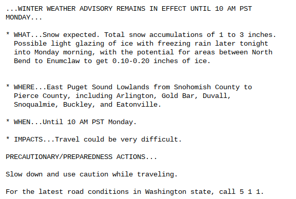
Below is the Winter Weather Advisory for the Cascade foothills, which is in effect until 10 AM Monday. This alert is different because of the potential for colder air and freezing rain in the foothills.
Up to 0.1-0.2 inches of ice is possible from North Bend to Enumclaw.
Let's time the changeover: (most likely)
Sunday morning-afternoon: Snow, accumulating 1-3 inches
Sunday evening-Monday morning: changeover, snow to rain, chance of freezing rain
Monday afternoon: Rain likely
That's the most likely scenario. It is possible that snow will linger into Sunday night, or end a bit earlier.
Rain on Monday combined with 6-12 inches of melting snow will prompt the possibility of urban flooding on Monday and Tuesday.
Stay tuned to the Twitter accounts below for updates!


No comments:
Post a Comment