FastCast—Monday, Apr. 11 to Thursday, Apr. 14:
A rare April winter storm is impacting the Pacific Northwest. Sunday was a day of showers (some quite heavy, including snow and hail) in the lowlands and significant snow in the mountains. As of Sunday night, a storm system is moving into the Oregon Coast. This system is too far south to bring lowland snow to the Puget Sound area (slight chance of rain/snow mix). However, due to easterly and northeasterly winds being drawn out of the Cascades by this system, there is a chance of snow on the Northern Olympic Peninsula and in the Hood Canal area. From roughly Olympia southward, snow is expected on Monday morning, due to a band of snow to the north of the low center. Areas from Olympia to just south of Portland will likely receive 1-3 inches of snow. In the lowlands, expect a mostly cloudy day with breezy northerly winds at times. Expect showers at times from Monday to Thursday, with highs in the mid 40s to low 50s, and lows in the low to mid 30s.
—————————————————————
Continue reading the full blog below!
A rare April winter storm is bringing a mix of impacts to the Pacific Northwest. Significant snow fell in the mountains today due to a small “meso-low” that moved through the Puget Sound area on Sunday. The photo below from Gunner Hicks shows snow in the Snoqualmie Pass area.

Significant impacts (including a Saturday closure) were observed at Snoqualmie Pass, with chains required for the majority of the morning on Sunday.
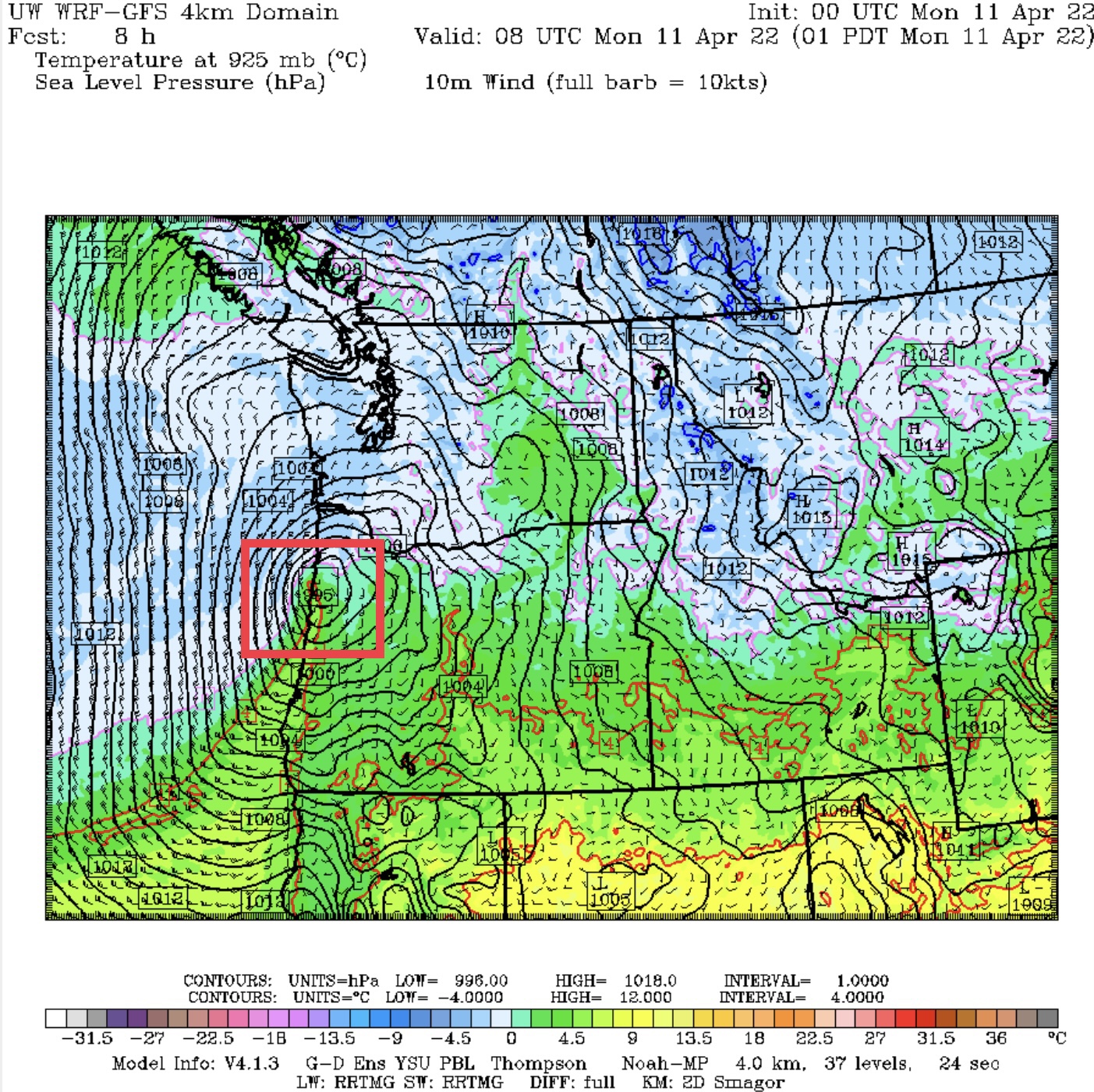
This storm will bring snow to areas between Olympia and the Portland metro area. Below is the high-resolution HRRR model, showing snow through Monday evening (most will fall Monday morning).

The HRRR shows snow mainly staying south of Chehalis. Big amounts in Longview and Portland are likely overdone, and will most likely be around 1-3 inches, perhaps higher above 500 feet.

The NAM brings snow a bit further north, toward Tumwater. Both forecasts also bring some snow to parts of Eastern Washington, even low elevations in the Columbia Basin. Both models also likely overdo snow around Longview.

This pattern is quite a rare one for April…and some odd weather for spring is expected. Stay tuned!

No comments:
Post a Comment