We are approaching the start of what will likely be the most unprecedented heat wave in Pacific Northwest history. Many daily, monthly, and all-time records will be broken, and many residents will experience the hottest temperatures they’ve ever seen in Western Washington.
Because of the unprecedented nature of this heat wave, an Excessive Heat Warning is in effect until 9 PM Monday.
The only new addition is the potential for 110+ degrees on Sunday and Monday, but most likely Monday.
Let’s use a similar forecast as the one we used in the last blog, showing temperatures in valley and non-valley locations. These are collected from 7+ forecasts.
Saturday:
Valley: 97-103°
Non-valley: 95-100°
Sunday:
Valley: 105-110°
Non-valley: 102-108°
Monday:
Valley: 108-115°
Non-valley: 106-113°
Temperatures of 110+ degrees are possible on Monday. Confidence in these 110+ degree temperatures is increasing. These are extraordinary temperatures for Western Washington, so high that we don’t have anything to compare them to. Stay tuned, as more information about this will become clear soon.
Also, it may be slightly cooler near the water and slightly hotter near the foothills and in mountain valleys. If you want to truly beat the heat, head out toward the Strait of Juan de Fuca, the San Juan Islands, or the ocean beaches. Temperatures at these locations will be in the 80s-low 90s.
The graphic below from NWS Seattle shows some records for selected cities and the forecast, as well as Sunday & Monday’s HeatRisk.
As always, there is also an increased risk of fires due to the heat. Below are more tips from NWS Seattle about how to prevent wildfires.
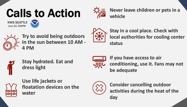
Although these safety tips might seem repetitive, they are very important. Take every effort to stay safe & hydrated, and take advantage of being in an air-conditioned place if you can.
Expect high temperatures of 95 to 102 degrees on Saturday. A moderate HeatRisk is expected for most of the area.


No comments:
Post a Comment